1. Introduction
Planning decisions are made by people, and not everyone reads architectural drawings fluently. Councillors, neighbours and consultees often find it easier to judge a proposal from an image showing how it will look in its setting.
Good visual communication does not replace drawings. It makes them easier to understand.
2. The role of visuals in planning
- Clarity. Visuals show scale, materials and massing in a way plans and elevations cannot.
- Context. Placing the design in a photographed or modelled setting shows how it relates to neighbouring buildings.
- Consultation. Clear images help residents and stakeholders give informed feedback early.
- Confidence. A client or investor who can see the scheme is better placed to decide.
3. Types of visual
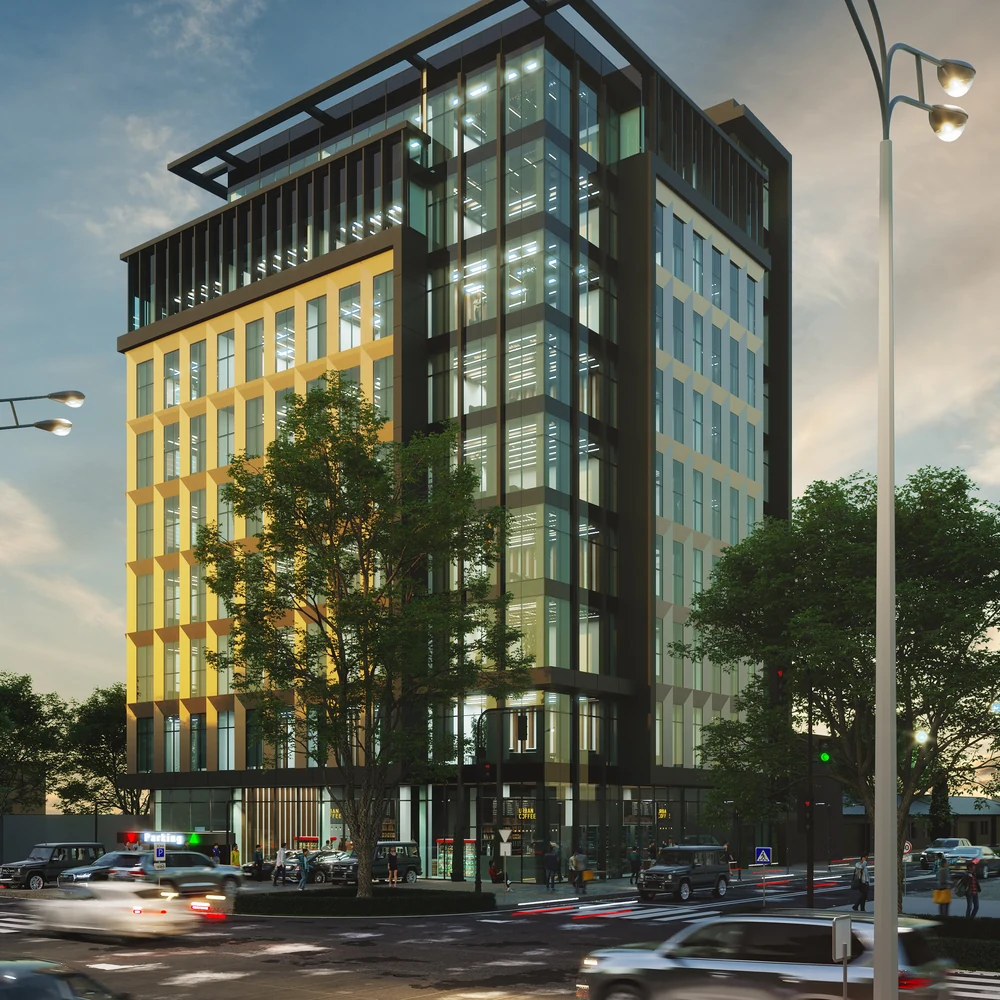
- Exterior CGI of the proposed building, in daylight or at dusk.
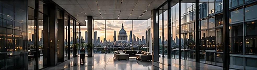
- Interior CGI to show layouts, materials and atmosphere.
- Photomontages that place a 3D model into a site photograph.
- Massing and context models that show height and bulk against the surroundings.
- Walkthroughs and animations for larger schemes and presentations.
For sensitive sites, such as conservation areas, protected views or taller buildings, authorities may expect verified or accurate visual representations produced to a recognised method. Check what your planning authority requires.
4. Visuals must be honest
Visuals support a planning case only if they are accurate. They should be built from the survey and the actual design, use correct materials and proportions, and avoid flattering camera angles or lighting that misrepresent the scheme. Misleading images can damage trust and undermine an application.
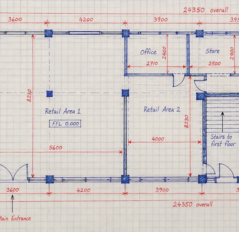
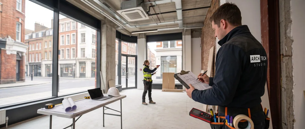
This is why we build visualisations from measured survey data and the approved design model. Read more about planning drawings and how the two work together.
5. FAQs
Are CGI images required for planning?
Not for every application. They are often valuable for larger or more sensitive schemes, and some authorities require them. Your local planning authority can advise.
How are the visuals made?
We build a 3D model from the design and survey data, apply materials and lighting, and render images, often placed into site photography.
How long does it take?
It depends on the number and complexity of images. We agree a programme with you at the start.
Can you produce visuals from my architect's drawings?
Yes. We can work from drawings or models supplied by your design team.